
Lapsset Corridor
The LAPSSET Corridor Program has been launched by Ethiopia, Kenya, and South Sudan to provide effective and efficient leadership in the delivery of sustainable LAPSSET infrastructure and economic corridor to spur regional integration.
Central Corridor
The Central Corridor is the integrated multimodal transport and logistics network that connects the Central Corridor Transit Transport Facilitation Agency (CCTTFA) Member States to the sea through the port of Dar es Salaam.
Northern Corridor
The Northern Corridor is a key transport route that consists of modes of surface transport route linking the landlocked Countries to the Port of Mombasa and including road, rail, pipeline, and in-land waterways.
THE PROJECT
Satellite Imagery and Artificial Intelligence to Analyse Road Links
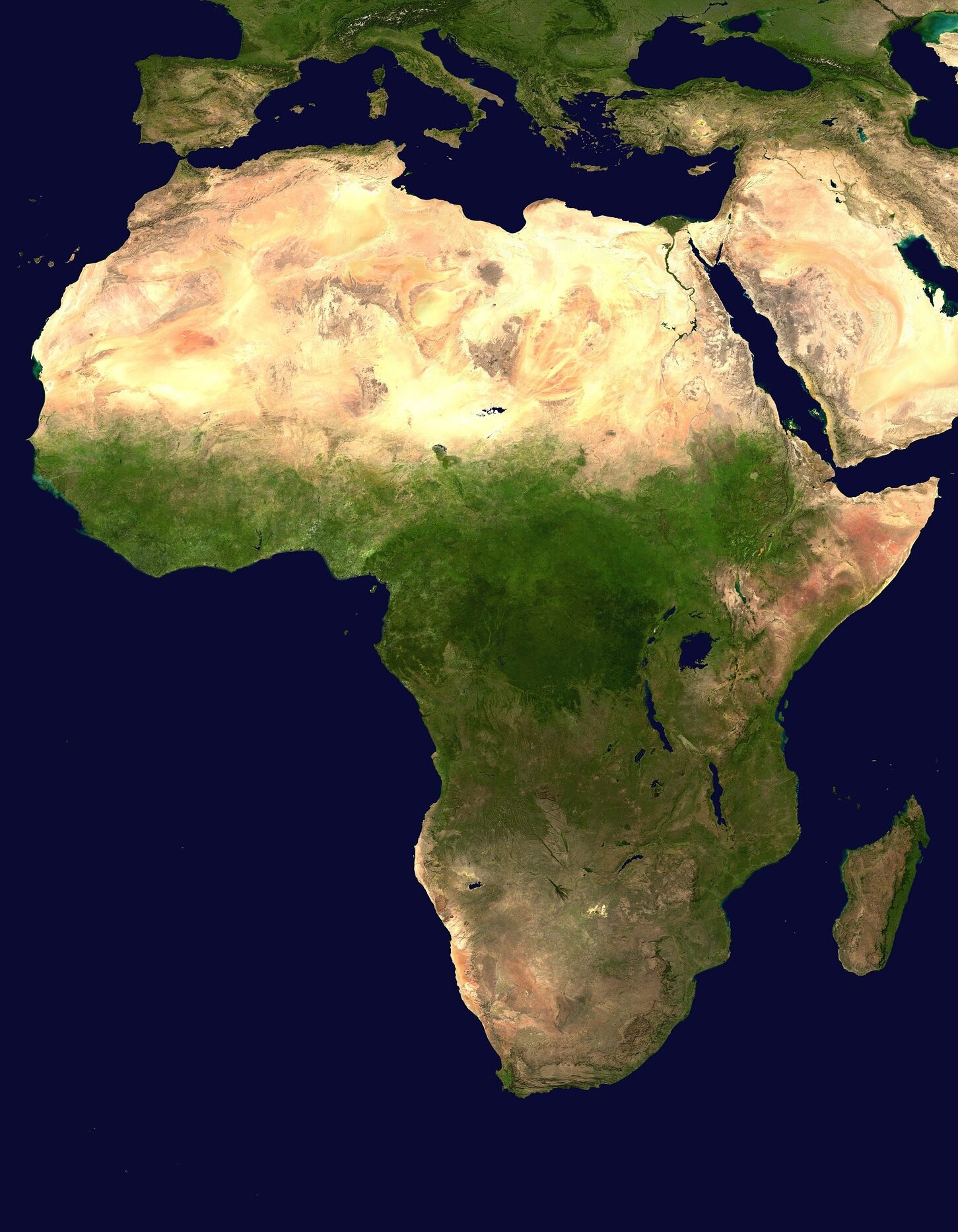
The African Transport Corridor Management System (ARTCOMS) project aims at implementing the use of AI and GIS-based tools in all African corridors.
Click here to go to the map to find information about the African road corridors.
Click here to find some information about available layers and active corridor on the African continent.
Click here to interact with the Map of the management system of African transport corridors
The Map
Explore the map to know more information about characteristics and conditions of the African road corridors.